When pastoralists turn cartographer: making the riches of pastoral territories visible
Science at work17 August 2026
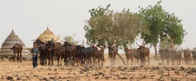
Despite their significance in relation to the world's land area, rangelands—areas across which herds move and graze—are often left white on maps, as if there were no human activity there. That absence has consequences for transhumant livestock farmers, who are often overlooked in public agricultural policy and find it hard to attract investment. In response, CIRAD and its partners are running participatory mapping operations with pastoralists, to allow them to draw their own maps of their territory.
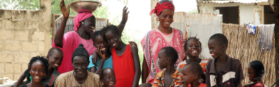
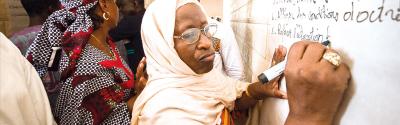
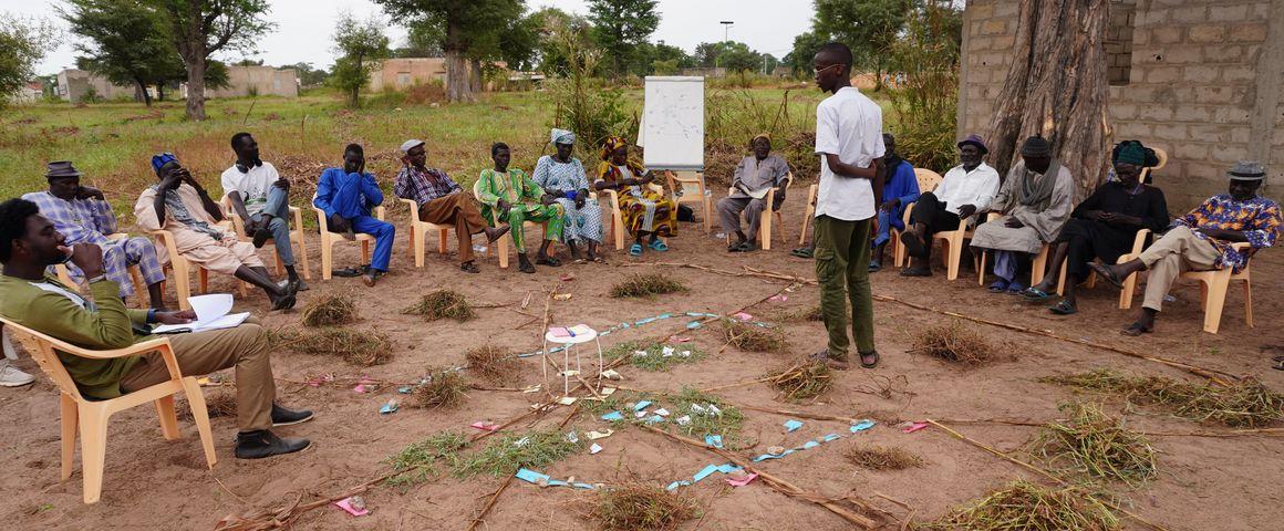
Participatory mapping workshop with pastoral livestock farmers in Senegal
Pastoralism and pastoral mobility are still often not shown on maps, despite the fact that rangelands cover nearly 50% of the world's land area. Documenting and showing pastoral activities better serves to highlight their social, cultural, environmental and economic contributions.
The participatory mapping methods developed by CIRAD and its partners directly involve pastoralists in building narrative maps of their territories. These operations fit into a "low-tech" research approach designed to facilitate their widespread appropriation, dissemination and use, notably by training livestock farmers.
"Rangeland use for pastoralism is difficult to map, for many reasons", says Jean-Daniel Cesaro, a geographer at CIRAD. "As the herds are mobile, land use is intermittent, unlike other forms of use such as crop farming, forestry or urban areas, which leave their mark on territories and can easily be observed by satellite. Pastoral activities are therefore invisible on maps, for want of investment, and there is a lack of recognition of what pastoralism can bring to territories."
To give just one example, in the River Senegal delta, pastoral livestock farming concerns twice as many people as sedentary farming. It also involves much greater numbers of animals: five times as many cows and goats, seven times more sheep. In addition to its demographic and economic clout, pastoralism also bolsters food security in many rural areas, by providing animal protein. On an environmental level, recent work has also demonstrated the positive role of such activities in capturing carbon or combating desertification.
In the runup to Desertification COP17 in Mongolia this month, pastoralism is staking its claim as a major response to the challenges of land degradation, climate change and food security. Research being done by CIRAD and its partners has shown that pastoral activities render a multitude of vital environmental, economic and social services. However, those functions must be managed collectively and with support from public policy.
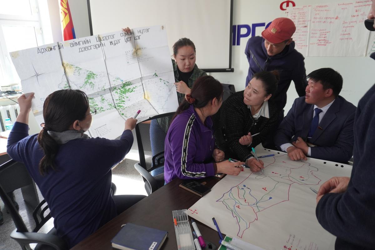
These factors are all arguments in favour of endogenous depictions of pastoralism, in other words produced by those most concerned: pastoralists themselves. Participatory mapping serves to bring together the various stakeholders in a given territory to build their own maps together.
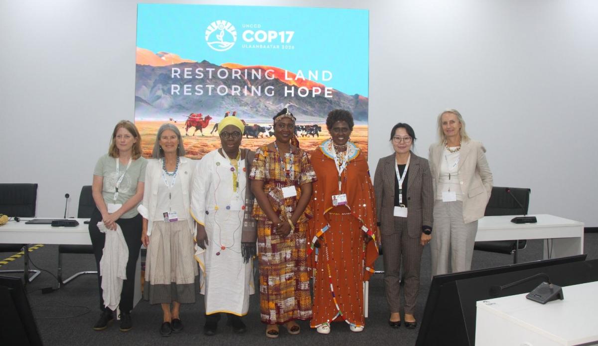
At Desertification COP17 in Mongolia, CIRAD is organising an event on pastoral mobility mapping, in partnership with pastoral leaders, NGOs, scientific institutes and decision makers from Africa, Europe and Asia. The aim is to allow indigenous people and local communities to take charge of mapping operations in order to give their own version of their territory.
A sheet of paper, a pencil, branches, stones and sometimes a simple line drawn on the ground with a stick: the tools used for participatory mapping are simple and reminiscent of the foundations underlying geography and field surveys. Surveys and consultation workshops allow livestock farmers to demonstrate a specific way of seeing their territory, via schematic, cultural and even geographical depictions. Their "maps" then become objects for exchanges and discussion, which describe how communities interact with the area in which they live.
Those discussions can then be supplemented by satellite data or GPS readings. However, generally speaking, the method is based on the endogenous, local know-how held by local communities and indigenous people. The scientific principle is built on guidance, mapping and dialogue. The process allows anyone and everyone to participate, while reducing the effects of a possible digital divide between participants.
Moreover, scientists feel that this type of survey is particularly good at revealing all the complexity of pastoralism. «"When farmers draw a map, they highlight essential parts of the pastoral world that mapping approaches based solely on geographical information might overlook", Jean-Daniel Cesaro points out. "They talk about their relationship with places, natural elements and biological and human communities, and mention the past, present and future of the territory represented".
An instrument for dialogue, recognition and projects
Participatory mapping workshops give rise to dialogue. What one farmer calls "fallow", another might call "pasture": a given area can render different services depending on the players concerned. Bringing everyone together around a table to compile a collective map allows participants to talk about their practices and needs. Depending on the context, such work can support participatory rangeland management, contribute to recognition of territories in the event of land use conflict, and support territorial development projects.
"Participatory mapping makes livestock farmers knowledge producers", says Jean-Daniel Cesaro. "For scientists, the aim is also to question how we conventionally draw maps. It shines a light on the role such approaches play in supporting livestock farmers and their organisations, and on their role in territory management." Maps are a support for dialogue, a tool for ensuring that pastoral know-how is recognised, and a means of building livestock farmers' capacity to take part in the decisions that shape their territories.