








Just out 24 June 2026
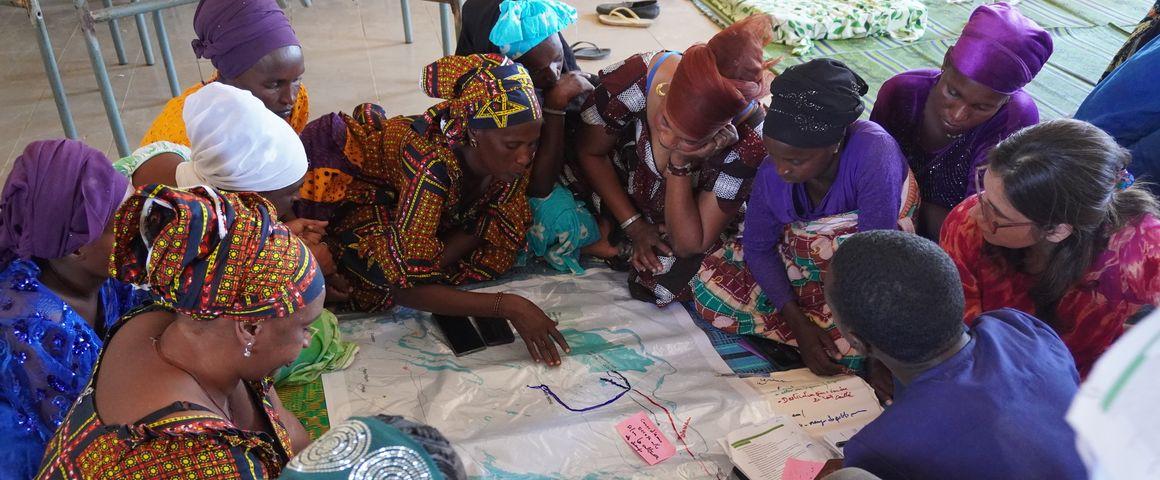
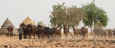
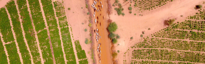
Mapping pastoral mobility in Senegal © J-D. Cesaro, CIRAD
Rangelands account for half of the world's land area, but remain difficult to map using traditional methods. They are often left blank on maps, and thus seen as unused or worthless, although they are the bedrock of pastoral livestock farming. That lack of cartographic knowledge is one of the factors that render transhumant livestock farmers and their practices invisible, in spite of their economic social and environmental role.
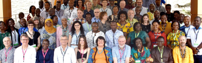
This book is the fruit of a belief shared by 49 co-authors—researchers, development practitioners, members of pastoralists' organisations, and field officers—united around an apparently simple question, but one that is profoundly political: how can we make territories visible, when conventional knowledge tools are not capable of doing so? What is more, how can we do it by giving a voice to the people who live there?
Participatory mapping reveals the wealth and complexity of the relations between pastoralists and their territories. It documents the experience livestock farmers have of their environment, harnesses their local know-how, boosts recognition of the rights of pastoral communities and encourages their collective organisation.
This collective work is based on a series of maps produced by livestock farmers within the framework of research projects, development programmes or local and endogenous initiatives. It deliberately runs counter to current trends—increasing use of artificial intelligence, the internet of things, our hyperconnected society—, which are all innovations that have trouble understanding the complexity of the pastoral world: its lifestyles, beliefs, perceptions and structure. Such maps make use of the fundamental tools of geography and field surveys: paper, pencils and photographs. This approach carries on from rural geography, which strives to understand the world without attempting to dominate it.
In highlighting pastoral dynamics, participatory mapping asserts itself as an instrument for dialogue to understand and harness the practices of transhumant livestock farmers. Rather than just a method, it is an attempt to reconnect traditional know-how and scientific approaches, reaffirming the central role of pastoral farmers in rangeland management.
Jean-Daniel Cesaro is a geographer in the SELMET joint research unit at CIRAD, based in Montpellier (France). He is a specialist in pastoral systems and arid territories, and works on the interactions between livestock farming, the environment and public policy. He is working on participatory mapping and territorial modelling approaches, to assist pastoralists with sustainable rangeland management. Being engaged at the interface between science and policy, he contributes to international debates on the links between pastoralism, climate, biodiversity and desertification, notably under the Rio Conventions, and is scientific advisor to several projects in Africa and Asia.
Francesca Fagandini Ruiz is an anthropologist with a PhD in geography and a researcher at CIRAD (UMR TETIS), based in Senegal in partnership with ISRA (Institut sénégalais de recherches agricoles). Her work fits into the field of critical geography and looks at territorial dynamics in rural contexts, particularly within agropastoral systems. She is developing the CartoSens methodology, a participatory approach that uses the perceptions and experiences of stakeholders to analyse territories. Her research also concerns mobility and territorial health issues.
Ibra Touré is a geographer, geomatician and pastoralist specialising in livestock systems in the Sahel and West Africa, and CIRAD Regional Director based in Dakar (Senegal). He has developed mapping tools and information systems applied to the analysis and sustainability of pastoral systems. He was co-founder of the PPZS platform, and has contributed to several major CILSS regional programmes, including PRAPS 1 and 2. He has also taught and supervised a large number of students and produced many publications. He is currently CIRAD Regional Director for West Africa - Dry Zone and INRAE and Agreenium Alliance representative.
Jean-Daniel Cesaro, Francesca Fagandini Ruiz, Ibra Touré, 2026. Pasteurs, cartographes des parcours. Cardère, <344 p.>
Just out 24 June 2026
Just out 12 June 2026
Just out 29 April 2026