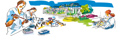


Science at work 15 July 2026
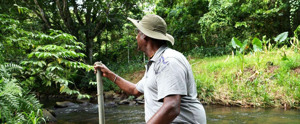
Installing a probe on a river in the Galion basin, Martinique © Y. Sanguine, CIRAD
"Maps make consequences visible. You can see the zones with higher pesticide pressure and the sectors that are potentially the most exposed. This model estimates pesticide pressure across large zones such as municipalities. It is really useful for analysing situations and building solutions."
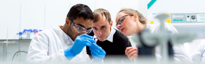
Jérémy Lavarenne is an agricultural engineer at CIRAD. He is currently based on the Campus Agro-Environnemental Caraïbe (CAEC) in Martinique, where he is working to calibrate the AgriSTAMP model using field data provided by several regional bodies such as OPALE. He also provides interested public bodies or services with training, for instance local water boards, the regional health authority (ARS) or hospitals.
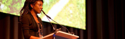
In late 2025, the tool was presented to a number of environmental, agricultural and public health players from the French West Indies and Réunion. "Various public players, including water boards, chambers of agriculture and the ARS, were there, along with producer organisations", says Nolwenn Bougon, research officer at OFB. "Initial feedback has been very positive. Several people have told us the tool could be useful in their day-to-day operations."
For both OFB and CIRAD, AgriSTAMP is doubly important: it must satisfy the very concrete needs of water boards, one of whose main tasks is to estimate the pesticide pressure and exposure imposed on aquatic environments and biodiversity. It must also foster discussion between different sectors, by means of a participatory approach, and notably between agricultural and environmental players.
To determine the pesticide pressure on territories, the first step identifying practices, knowing where pesticides are applied and in what quantities. AgriSTAMP therefore calls on several data sources: the "graphic plot register" (RPG), which records agricultural plots and their location, information on farming practices, or phytosanitary product properties and usage, information primarily drawn from the Banque nationale de vente des distributeurs de produits phytosanitaires (BNVD). The model also uses information on soil type, in terms of the degree of water infiltration it allows, and weather data.
"We know what farmers use in the way of products, thanks to surveys we have done, value chain by value chain" says Jérémy Lavarenne. "For instance, for a given crop, AgriSTAMP knows that fungicides are applied on Days 10 and 60 of the crop management sequence, while herbicides are not used until Day 40. If it rains heavily after those products are applied, contamination of nearby rivers may be greater in the next few days."
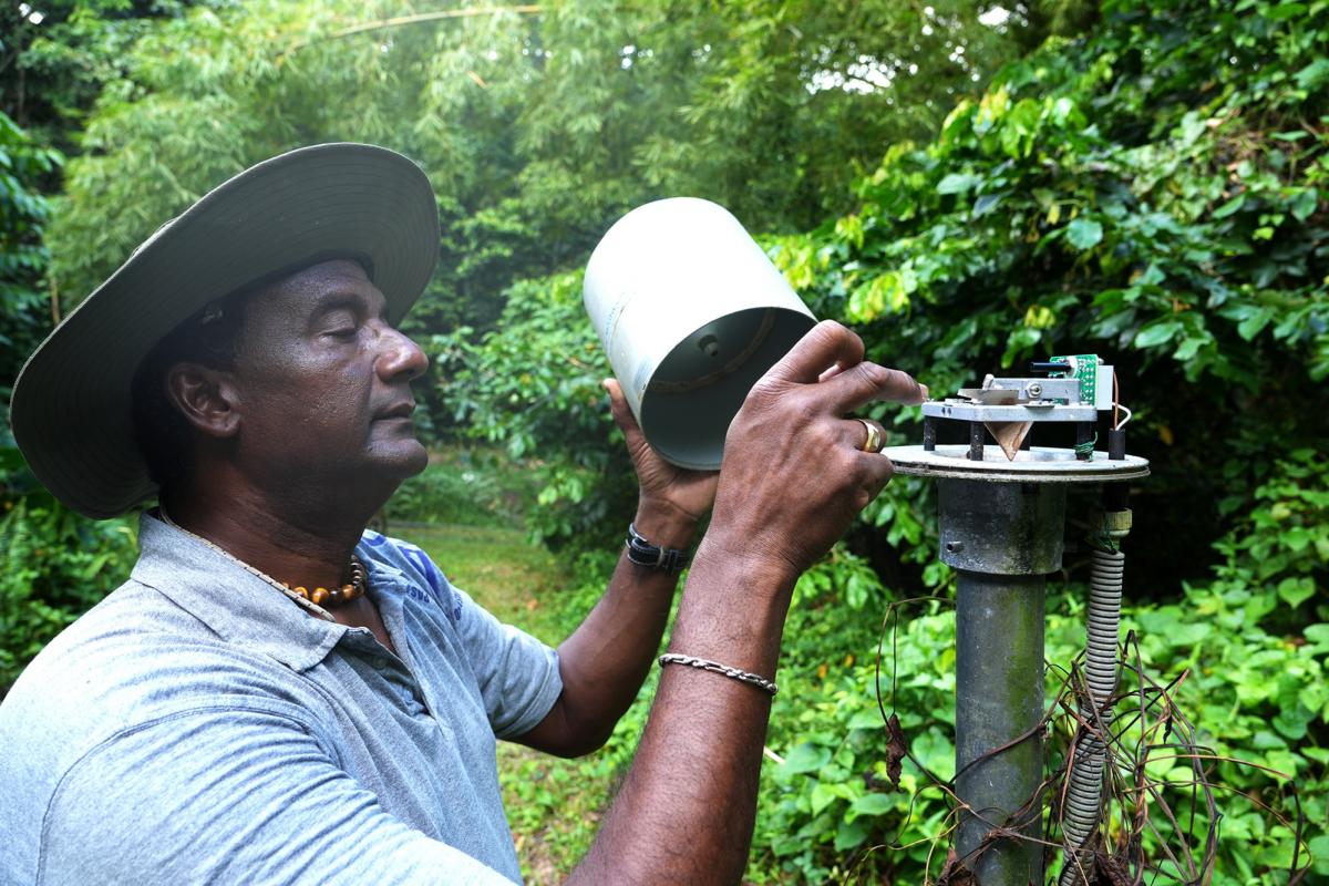
Luc Rangon, a technician at IRD, checks a rain gauge in the Galion basin, Martinique. Rainfall data are being gathered as part of the OPALE project © Y. Sanguine, CIRAD
The maps obtained are estimates that vary over time and space. The results therefore change in the event of a change in crop management sequences, which could h the authorities to explore different pesticide reduction scenarios.
"Cutting pesticide use in fields by 20% does not necessarily mean a 20% overall drop in pollution in a given territory", Jérémy Lavarenne points out. "AgriSTAMP serves to test scenarios by visualising the potential impact of changes in cropping practices."
The more recent versions of AgriSTAMP have also taken account of user feedback. "The new AgriSTAMP interface was designed to make it easier to use", Hélène Udo, Head of the "Knowledge" unit within the overseas regions division of OFB, stresses. "We are keen to give our staff a practical tool, which is why we are listening to their feedback and providing training." Regular monitoring and workshops are planned.
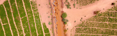
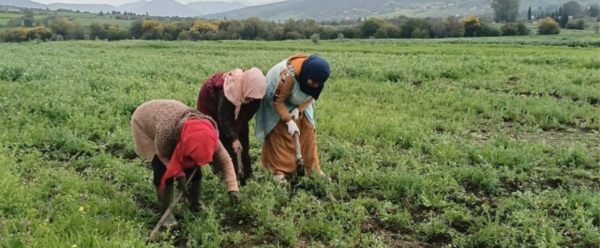
There are two observatory sites monitoring pesticide contamination of water courses in Guadeloupe and Martinique. Several stations are measuring various indicators linked to agricultural pollution. The sites were chosen based on nearby agricultural activities. In Martinique, for instance, the Galion watershed was chosen as it reflects the agricultural and pedoclimatic diversity found in the French West Indies.
The observatory was set up jointly by CIRAD, IRD, INRAE and BRGM. The University of the French West Indies and IFREMER are involved in the marine component, which is crucial as a proportion of agricultural pollution ends up in the sea.
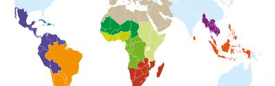
AgriSTAMP is currently calibrated for tropical crops in the French West Indies, and is also due to be rolled out in Réunion. Talks are under way with the authorities on the island, such as the water board and the regional health authority, to assess their requirements and the possibility of adapting the tool. Its use in mainland France will require prior work with INRAE to adapt it to temperate crops.
AgriSTAMP is part of longstanding studies of agricultural pollution in the French West Indies, notably by chlordecone. Those studies and monitoring operations have played a significant part in documenting pesticide transfers and fine-tuning modelling tools.

Apparatus for taking water samples from a river in the Galion basin, Martinique © Y. Sanguine, CIRAD
Tran Annelise, Dufleit Victor, Bonnal Vincent, Degenne Pascal, Lavarenne Jeremy, Lecat Lucie, Cattan Philippe. 2025. Agri-STAMP: A spatial model representing the use and fate of pesticides over the long term. Science of the Total Environment
Science at work 15 July 2026
Science at work 1 July 2026
Science at work 23 June 2026