


Results & impact 10 July 2026
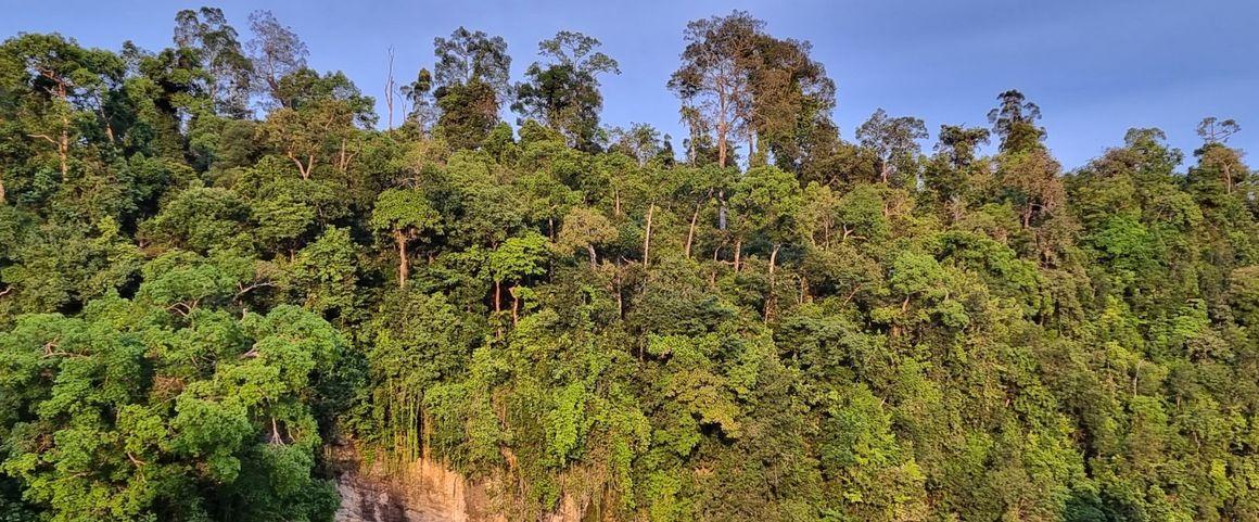
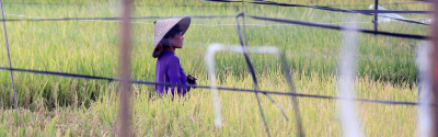
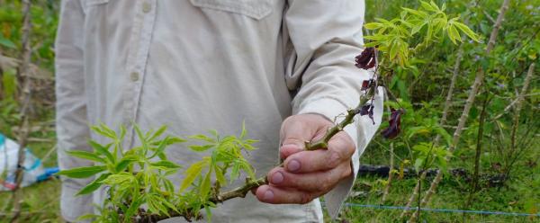
Forest on the banks of the Kinabatangan River, Malaysia © A. Rival, CIRAD
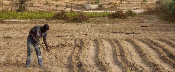
Mapping deforestation risks serves to anticipate and prioritize conservation operations in the most vulnerable zones. Until now, the existing tools were limited in terms of functionality, and did not necessarily allow for studies on a national scale in the countries of the global South. That is what is now offered by Deforisk, a tool for mapping deforestation risks across large areas, in high resolution. The plugin was developed for easy use via the QGIS software interface, a free geographical information system (GIS) app. Deforisk includes a broad panel of variables and thus enables accurate maps that take account of regional specificities in terms of the deforestation process.
Ghislain Vieilledent is the CIRAD ecologist behind Deforisk. He explains: "users of the plugin can use various types of information, such as the topography, road network, the extent of mining concessions or the network of protected areas and their protection status, to forecast deforestation risks. Using local datasets supplemented with data from international observatories produces forecasts that tally with the reality on the ground".
"Deforisk enables land use policy to be informed by reliable risk maps, which can be produced at both national and local levels", FAO researcher Nadir Carolina Pallqui Camacho adds. "For many countries, it is hugely useful for drafting strategies aimed at combating deforestation, potentially opening the door to receive payments for these efforts."
Deforisk was developed by FAO and CIRAD as part of the AIM4Forests programme, with financial support from the UK.
Deforisk builds predictive maps on which the zones most at risk of deforestation are shown in red. It bases its estimates of the likelihood of deforestation on explanatory environmental variables and spatial statistics models.
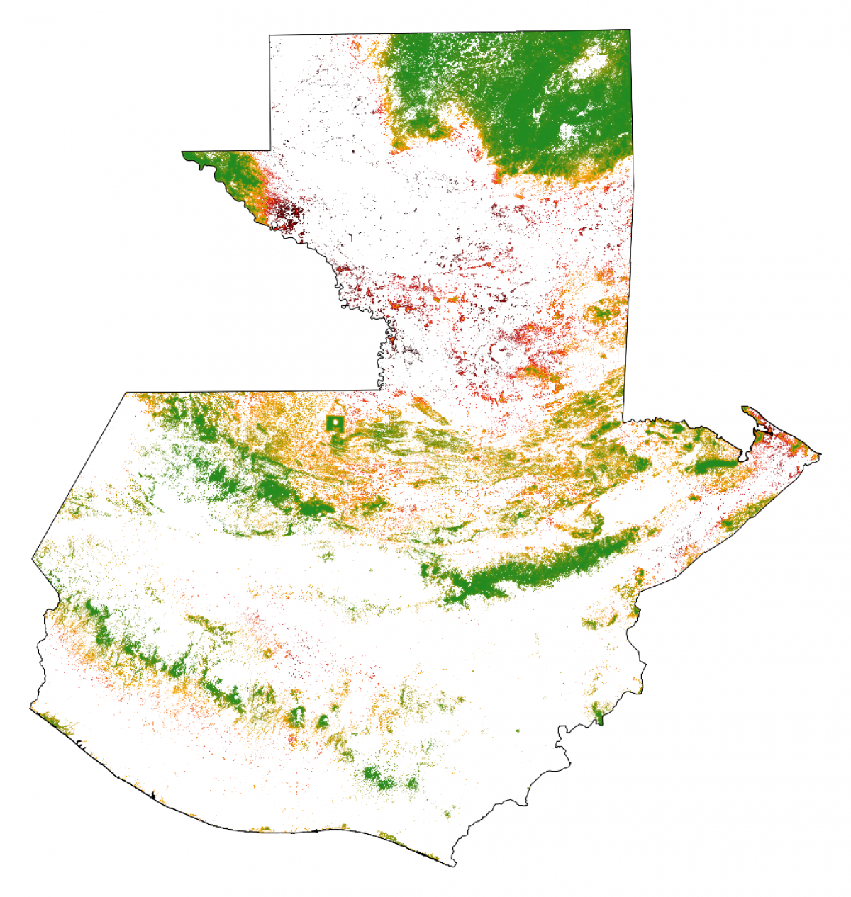
Map of the spatial risks of deforestation for Guatemala for the year 2020 (30-m resolution)
On this map of Guatemala produced using Deforisk, forest cover is shown as coloured pixels. The data were taken from the Tropical Moist Forest database. Green pixels show a low risk of deforestation, while dark red pixels show a high risk. The map clearly shows the regional variations in deforestation risks, with at-risk zones and zones that would seem to be preserved, notably in the heart of the northern forest.
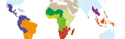
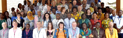
The Deforisk website gives access to all the documentation required for installing and using the plugin, in English and Spanish. It is currently being translated into French. The Deforisk team also offers training to familiarize users with the tool and produce deforestation risk maps. For instance, an initial training workshop was held in South America in July 2024, for civil servants from six partner countries: Brazil, Chile, Colombia, Ecuador, Guatemala and Peru. Two more training workshops are planned for 2025: one in Bangkok (Indonesia), for Southeast Asian countries, the other in Brazil for the country's different states.
Such risk maps are also required for carbon credit certification, as used within REDD+, an international programme aimed at reducing greenhouse gas emissions due to deforestation and forest degradation in tropical countries, notably by means of so-called avoided deforestation. The approach taken by the Deforisk plugin satisfies the criteria of one the methodologies proposed by Verra, the world's most widely used carbon credit certification organization.
Although there is some debate as to the relevance of carbon credits and offsetting, which Ghislain Vieilledent says "should be referred to as a carbon contribution", the REDD+ programme has the advantage of ensuring private funding for forest conservation. This is a real asset given that global and national public funding is limited. The Deforisk tool therefore makes it easier for countries in the global South to access this type of funding.
To find out more about Deforisk and last July's workshop, see the FAO article:
AIM4Forests: Accelerating Innovative Monitoring for Forests
Results & impact 10 July 2026
Results & impact 19 May 2026
Results & impact 20 April 2026