Results & impact 28 October 2025
- Home
- CIRAD news
- News
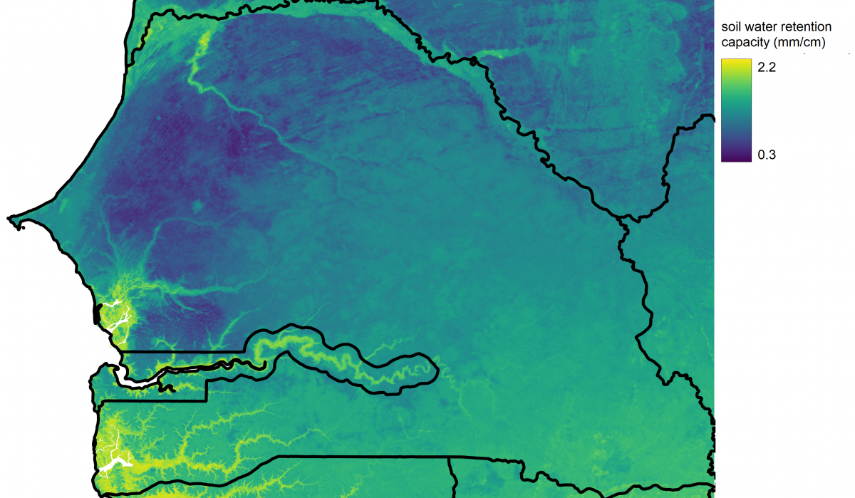
- Map of soil water retention capacity in Senegal
Water retention in the soils of Senegal: a new high-resolution map

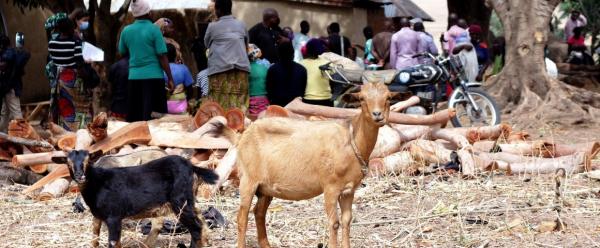
Knowing the water retention capacity of a given soil is crucial to agricultural activities, particularly in semi-arid zones © R. Belmin, CIRAD
A new map of the water retention capacity of soils across Senegal, with an unprecedented resolution of 30 m, was published recently. This type of document can be instrumental in informing decisions regarding farming campaign monitoring and the prevention and management of food crises. It can therefore be used by various public services, such as the Agence nationale de l’aviation civile et de la météorologie (ANACIM) or the Permanent Interstates Committee for Drought Control in the Sahel (CILSS).
Adaptation to climate change, yield simulations, mosquito control, and others…
The climate in the Sahel is proving increasingly variable. Rainfall is irregular and extreme weather events increasingly frequent. Territories whose soils have a low water retention capacity are particularly vulnerable to such changes. Conversely, high soil water retention capacity could serve to buffer increasingly irregular rainfall patterns and make crops more resilient to climate hazards.
"In agronomy, soil water retention capacity refers to the volume of water available in the soil for plant growth", CIRAD geographer and co-author of the map Louise Leroux explains. "It is therefore key to many agronomic applications, from modelling and monitoring crop yields to managing irrigation and assessing fodder balances."
Besides agronomy, health services engaged in fighting mosquito-borne diseases could use such maps as an additional source of information for pinpointing zones that favour larva development. Hydrology studies, for their part, use them to calculate runoff in the event of heavy rainfall: already saturated soils could play a part in potential flooding or soil degradation due to erosion.
Is the soil a sponge?
According to CIRAD agronomist and co-author of the map Jérémy Lavarenne, "the soil acts a bit like a sponge. Its water retention capacity depends on the number and size of the gaps in it. The properties of those gaps in the soil are closely linked to soil texture, which is determined by the proportions of different particle types such as coarse fragments, sand, silt and clay."
In short, if there are large gaps in the soil, water will find it difficult to adhere by means of capillarity and is likely to percolate. It is these properties, combined with soil depth, that determine a soil's water storage capacity.
The map was produced using soil physical property data generated by iSDA Africa, with the United States Department of Agriculture (USDA) Rosetta3 model. In addition to Senegal, a similar map is already available for Burkina Faso.
Reference
Jérémy Lavarenne, Louise Leroux. 2024. High-resolution mapping of available water content in Senegal using iSDA Africa dataset and USDARosetta3 model. European Journal of Soil Science


