


Results & impact 3 February 2026
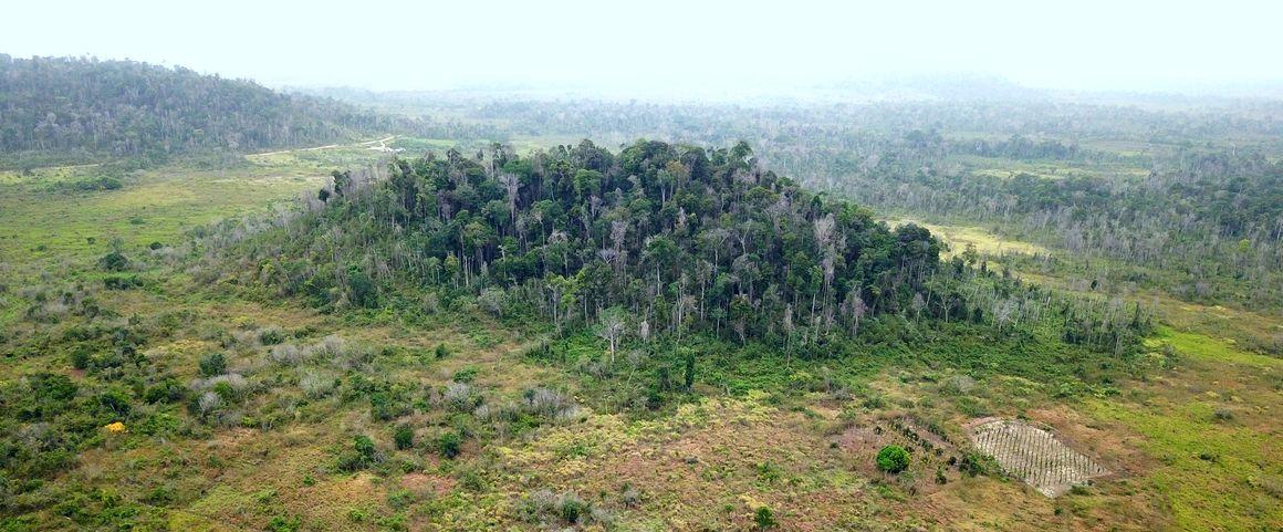
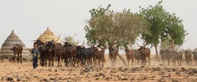
Pockets of forest surrounded by cultivated plains (Paragominas, Brazil) © CIRAD
Despite making intuitive sense, this finding had not yet been confirmed by science. According to Lilian Blanc, a forest ecologist at CIRAD and coordinator of the study, this is due to the fact that forests are too often studied separately from the territory in which they are found:
“There is a general tendency to isolate forests from the rest of the landscape, in both research and in management policies. What our article shows, on the contrary, is that forests are elements whose dynamics and functioning depend on the surrounding landscape”.
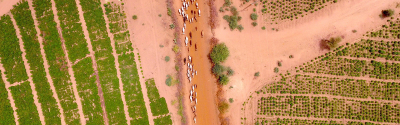
In the Brazilian Amazon, the forests on the agricultural frontiers have been degraded by repeated disturbances linked to the colonisation of these territories. Characterising the state of these forests remains a real methodological challenge. However, the state of a forest is closely linked to the organisation and history of its landscape. This is shown by the findings of the study, conducted in the municipality of Paragominas in Brazil.
Clément Bourgoin, a geographer and lead author of the article, explains: “By establishing a correlation between the levels of forest degradation and the history and use of the land surrounding the forests in question, it is now possible to observe the landscape as a whole in order to estimate the state of those forests”.
Thus, in Paragominas, predominantly agricultural landscapes affected by past deforestation have highly degraded forests, as do landscapes with high forest fragmentation and where the use of fire prevails in agricultural practices. On the contrary, forest degradation is lower in landscapes dominated by grasslands with a low rate of fragmentation.
To reach these findings, the researchers first collected satellite images, then analysed them according to landscape ecology methods. Next, they compared their findings with field data.
“Two different landscapes may cover the same surface area have the same proportions of forest and agriculture”, says Julie Betbeder, co-author of the article and a researcher specialising in remote sensing and landscape ecology at CIRAD. “However, one of those landscapes may have a highly fragmented forest, while the other will comprise a continuous or “connected” forest area. To determine this without actually going there, we look at the organisation of the landscape: for example, are the forest areas broken up? If yes, this could be due to the presence of hills, which farmers avoid, and will translate into pockets of forest surrounded by cultivated plains. This landscape organisation gives us information about the level of forest degradation”.
According to Clément Bourgoin, “this research opens up new prospects for assessing the causes of tropical forest degradation. Ultimately, this will enable us to prioritise the most degraded areas, through better targeted sustainable forest management”.
Clément Bourgoin, Julie Betbeder, Renan Le Roux, Valéry Gond, Johan Oszwald, Damien Arvor, Jacques Baudry, Hugues Boussard, Solen Le Clech, Mazzei Lucas, Hélène Dessard, Peter Läderach, Louis Reymondin, Lilian Blanc. 2021. Looking beyond forest cover: An analysis of landscape-scale predictors of forest degradation in the Brazilian Amazon. Environmental Research Letters.
Results & impact 3 February 2026

Results & impact 10 October 2025
Results & impact 20 August 2025