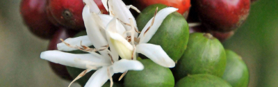
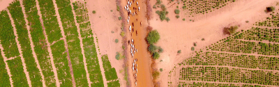
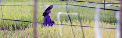
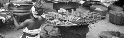
"The Senegal River delta is a region in which livestock and crop farming, fishing and even silviculture are all practised. Traditionally, this "multifunctionality" has been evenly distributed over both space and time. For instance, crops end with harvesting and animals are then allowed to graze on the land. However, these various types of land use are now coming into conflict. To give just one example, pastoral herdsmen find their way blocked by fixed hydraulic installations built for irrigation. Gearing access to resources towards a single activity excludes others, which is generating huge tensions".
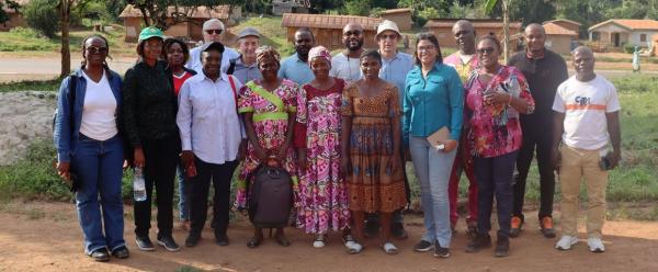
Djibril Diop is a geographer at the Institut sénégalais en recherche agronomique (ISRA). With Jérémy Bourgoin, a geographer at CIRAD, he co-wrote the Atlas of territory in transition - Views on the Senegal River Delta. Their work sheds light on the main development trends the Senegal River delta has seen, with particular emphasis on territorial management issues.
The atlas contains historical perspectives, maps, diagrams and photographs, drawn from more than five years of joint work by ISRA and CIRAD. The two authors are keen to point out that their work was not intended to be exhaustive, but to give a new perspective on a territory that has already been studied extensively. "The idea was to shed a critical light on how the territory has changed, to balance the views expressed by State and private players. We hope the atlas will contribute to a better understanding of territorial dynamics in the Senegal River delta and of current and future development issues."
Banking on the synergy between different production activities
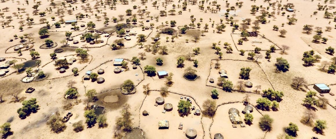
The Senegal River valley, in the Northwest of the country, is home to a large number of agricultural activities. The region is strategically important both for development and food security, and has always been the target of investments, with significant political and financial consequences. Since the 1960s, that support has centred on irrigated agriculture, which benefits from both installations and preferential access to land and water resources. This specialization has generated certain types of exclusion as regards other players such as pastoral herders, despite the fact that they also create wealth.
In response to the tensions surrounding land access and use, which are growing as the territory becomes increasingly specialized, the scientists point out that the delta was shaped that very multifunctionality. Without suggesting a return to the past, Jérémy Bourgoin stresses the merits of shared resource management for achieving inclusiveness: "By shifting our efforts towards the complementarity of different activities, for instance crop and livestock farming, we could build a territorial management system that would not leave anyone by the roadside". Djibril Diop adds that "synergies already exist between agroindustry and livestock farmers. For example, sugarcane waste is fed to animals while cow manure is used in other agroindustries as an alternative to fertilizers".
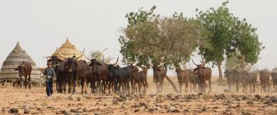
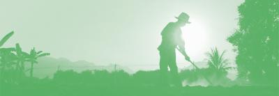
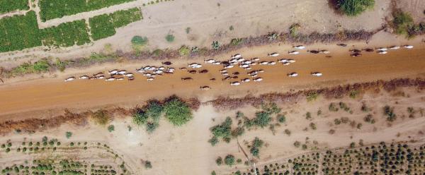
Pastoral activities are often overlooked in public policy, despite their importance for the region's food security. For instance, mobile cattle farms are often five times larger than sedentary ones. The roads taken by herds lead to dairy and meat markets, making pastoralism one of the pillars of food security in the Senegal River delta.
In the region of the Senegal River delta, pastoral livestock systems concern more than 50 000 people, twice as many as sedentary livestock systems. The herds are also much larger and supply local meat and dairy markets. Despite the demographic, economic and social importance of pastoralism, it still lacks visibility on most maps showing agricultural activities in the country, and is generally ignored by public policy and investment. A group of scientists has developed a simple method to assess pastoral activities in the Senegal River delta, which it published in Land Use Policy, and is calling for the inclusion of these activities in governance processes.
Planning tools already exist
To succeed in integrating a range of economic activities, the territory must build a management system that allows for the needs and expectations of every player. This necessary concerted planning could make use of existing tools. "For instance, the first land use and allocation plans (POASs) in Senegal date back to the 2000s", Jérémy Bourgoin points out. "However, the environmental and economic issues are no longer the same. The impacts of climate change, such as the global financialization of arable land, have changed the relations between players and require a readjustment of cert planning rules and tools."
What with population growth, increasingly scarce water resources as a result of climate change and superimposed land uses, the zone is under ever-increasing pressure. "Multiplying the number of tools doesn't look like the best solution. We recommend that public players focus on developing approaches that local players are already familiar with, which only require a few tweaks to bring them into line with the regulations and are easy to take on board", Djibril Diop insists.
The atlas remains subjective, and influenced by the fact that it was written by geographers, the authors repeat. It is a large-scale vision that does not go into details, but which should trigger debate and which highlights the potential sources of conflict and ways of tackling them.
The atlas is also available in French.