


Software and digital applications - Territory management solution - Natural resources and territories
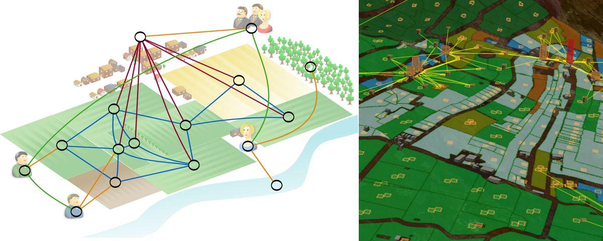
Modelling and simulation of spatial dynamics © Pascal Degenne, CIRAD
While the description of interacting factors in spatial dynamics simulation models remains a real challenge for modellers, R&D project stakeholders and regional decision-makers require visual outputs and interactive dashboards that are often lacking.
Ocelet is a programming language specifically designed to help developing decision-support tools in the fields of environment, agriculture, and epidemiology.
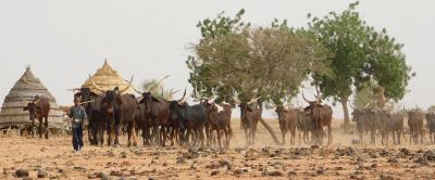
It integrates different forms of spatial representation within a single model in order to simulate spatial dynamics scenarios. This makes it an excellent tool for studying landscape changes and environmental issues.
Stage of development

TRL5 - Validation de la technologie en environnement représentatif - prototype testé dans un contexte spécifique
Through the concept of interaction graphs, Ocelet enables the integration of spatial processes with diverse representations, while promoting a systemic and spatialized understanding of the processes at play in a territory or landscape.
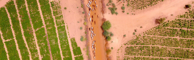
Ocelet thus provides the means to work at multiple spatial scales, integrate various forms of geographic information, and produce dynamic maps representing the landscape changes :
Ocelet is an excellent tool for highlighting :
It is therefore aimed at a wide range of potential users :
Ocelet developers support you through :
Ocelet and the modelling platform (Ocelet Modelling Platform) are distributed under the CECILL V2.1 license. The sources are available on GITHUB.
Degenne P., Lo Seen D., 2016, Ocelet: Simulating processes of landscape changes using interaction graphs, SoftwareX, 5:89-95.
Software and digital applications - Territory management solution - Natural resources and territories

Planting material and propagation - Sustainable agriculture - Natural resources and territories
Software and digital applications - Sustainable agriculture - Food and agrifood technology - Natural resources and territories