


- Home
- Worldwide
- CIRAD worldwide
- Projects
- Land Matrix Initiative project
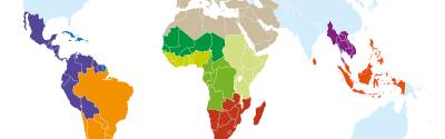
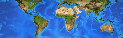
The Land Matrix is a global and independent land monitoring initiative - Land Matrix Initiative Phase 3
The Land Matrix Initiative captures data about large-scale land acquisitions (LSLAs) of more than 200 ha. The aim is to provide an understanding of the phenomenon of LSLAs and their impact, and to foster transparency and accountability in decisions over land deals.
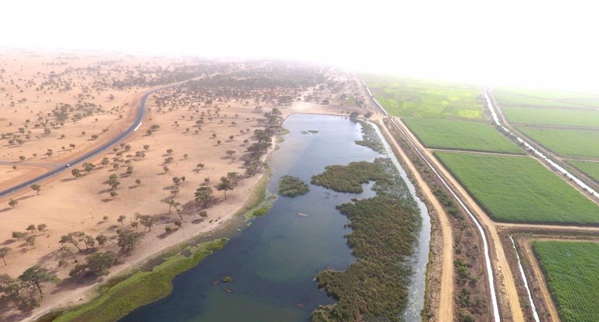
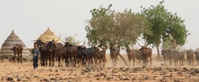
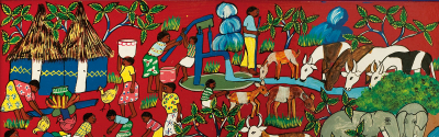
Investment territory in the Sahel © J. Bourgoin, CIRAD
Issues
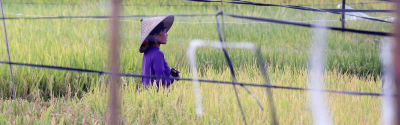
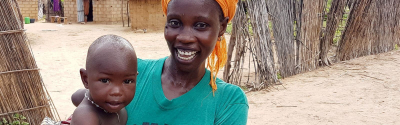
Access to land is closely linked to social, economic and environmental issues, including food security, poverty alleviation and rural transformation. Better monitoring and understanding of LSLAs will provide a clearer picture of their impact on those issues.
Moreover, LSLAs can limit land access and ownership rights for local people, and have the potential to create conflict. It is therefore vital to ensure greater transparency of LSLAs, to ensure that the interests of marginalized people are taken into account.
Description
The Land Matrix Initiative Phase 3 centres on three pillars:
- Supplementing the database (particularly geospatial data) with contributions from the local, regional and global levels. Quality applied research will also be conducted to analyse and interpret those data.
- Supporting land policy, through reliable, relevant data. Those contributions are intended for policymaking processes at various levels: global and international (voluntary directives), regional in the global South, and national.
- Consolidating multi-level coordination of the activities of the Land Matrix Initiative, to boost its impact on inclusive, evidence-based public land policy. This includes supporting land observatories as an instrument for public action.
Expected impacts
- Large-scale land acquisitions and their impacts will be more clearly understood.
- Governments, development agencies, NGOs, researchers, and land users (including smallholders, pastoralists, women, indigenous peoples and local communities (IPLCs), etc) will have access to and make use of reliable data, information and analyses relating to large-scale land acquisitions worldwide.
- Based on the data gathered and subsequent analyses, targeted contributions on a regional or national level concerning land acquisitions and use will ensure that the most vulnerable players (smallholders, herders, women, IPLCs, etc) are taken into consideration when drafting more inclusive, evidence-based public land policies.
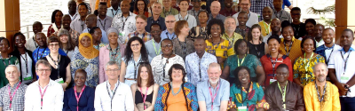
Contract partners
- AFA, CDE, GIGA, GIZ, ILC, University of Pretoria, Fundapaz, Ecoaction
- ISRA Senegal, LANDNet Uganda – Uganda Land Observatory