


- Home
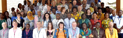
- About us
- Research units
- TETIS
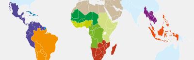
Land, Environment, Remote Sensing and Spatial Information - UMR TETIS
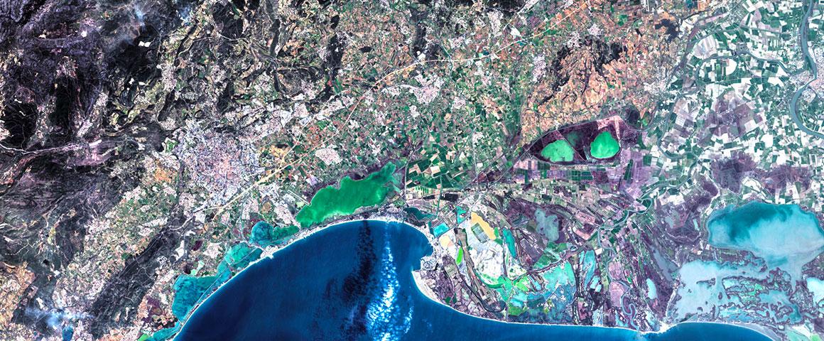
Montpellier, France. © Spot 6
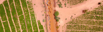
The UMR adopts an integrated approach implementing the spatial information chain, from spatial data acquisition and processing to spatiotemporal analyses and modelling of agro-environmental and territorial systems, information system management, and the conditions for spatial information use by stakeholders.
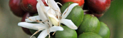
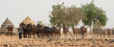
It applies the chain to various thematic areas linked to land development and sustainable agro-environmental management: agriculture, environment, territories, resources, health and natural risks. To this end, it works closely with land managers and stakeholders and builds partnerships with other scientific teams working in these areas.
A transverse, unifying component of TETIS is “observatories”, a scheme set up to associate stakeholders around an information system to address a territorial issue