


Event 6 May 2026
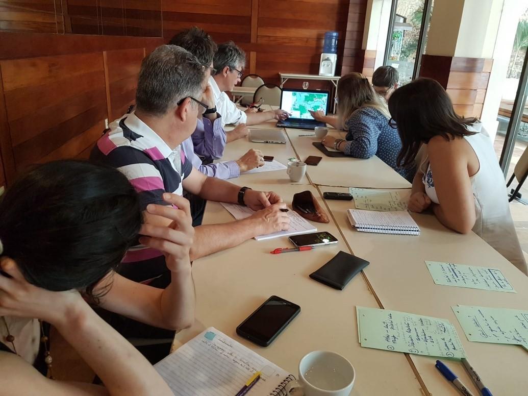
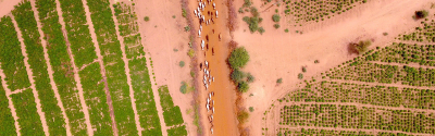
In Paragominas (Brazil), land use planning players are using Forland to assess the impact of their decisions © H. Dessard, CIRAD
In the municipality of Paragominas in Brazil, over the last 10 years the city council has developed a consultative strategy for the sustainable planning of its territory. Its goal is to meet environmental and democratic challenges for long-term, more inclusive economic development. Over the last two years, the Forland tool has helped to implement the municipality’s territorial reorganisation policy in order to reconcile agricultural production with the restoration of its degraded forest land.
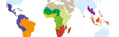
After positive results in Brazil (Paragominas and Cotriguacu), Colombia (Guaviare) and Scotland (Loch Sunart and the Galloway and Southern Ayrshire Biosphere), the developers of Forland – ONF International, CIRAD, ETH-Zurich, University of Edinburgh and Forest Research – are now proposing their tool to other users.
“Forland is a digital platform with associated services. The tool is based on a better understanding of the territory and its challenges by all stakeholders involved in its development”, says Joanna Montesinos of ONF International. “To achieve this, the services Forland proposes include interactive mapping, modelling of different landscape restoration scenarios, and an alert system on changes in the situation of given areas. This was all designed to facilitate participatory processes for more consensual decision-making”. Forland is a particularly comprehensive tool, associating different indicators, from ecology to law, and can be adapted to any area.
In Brazil, Colombia and Scotland, Forland has thus served to simulate and assess restoration scenarios at the territorial level and to identify sites to be restored as a priority. “In the pilot sites, the platform has strengthened the construction of a common vision of sustainable territorial development that respects forest landscapes”, adds Plinio Sist, Head of CIRAD’s Forests and Societies research unit.
Contrary to traditional decision support tools for spatial planning, Forland monitors all of the stages of a planning process. “Forland operates in three phases”, says Joanna Montesinos. “The first phase involves analysis of the territory and its environmental, economic and sociocultural components. This helps to better identify the needs of local and regional actors. Next, Forland proposes participatory modelling of planning scenarios and their assessment. Monitoring of implementation is the final phase and is conducted using a monitoring and reporting system”.
Thanks to the contributions of numerous researchers, including ecologists and economists from CIRAD, the platform enables a global vision of the challenges of forest landscapes, whether environmental, economic or social. Forland provides its users with new insights on spatial planning. “It is a solution that can contribute to the restoration of forest landscapes while ensuring sustainable territorial development”, says Plinio Sist.
Event 6 May 2026