


Results & impact 10 July 2026
© AdobeStock, B.B. Massieu
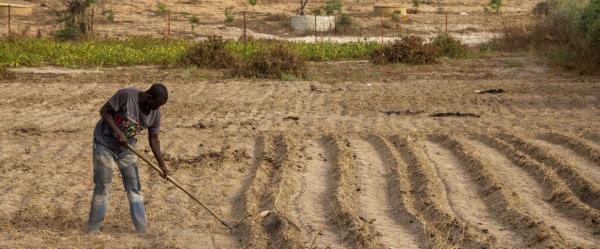
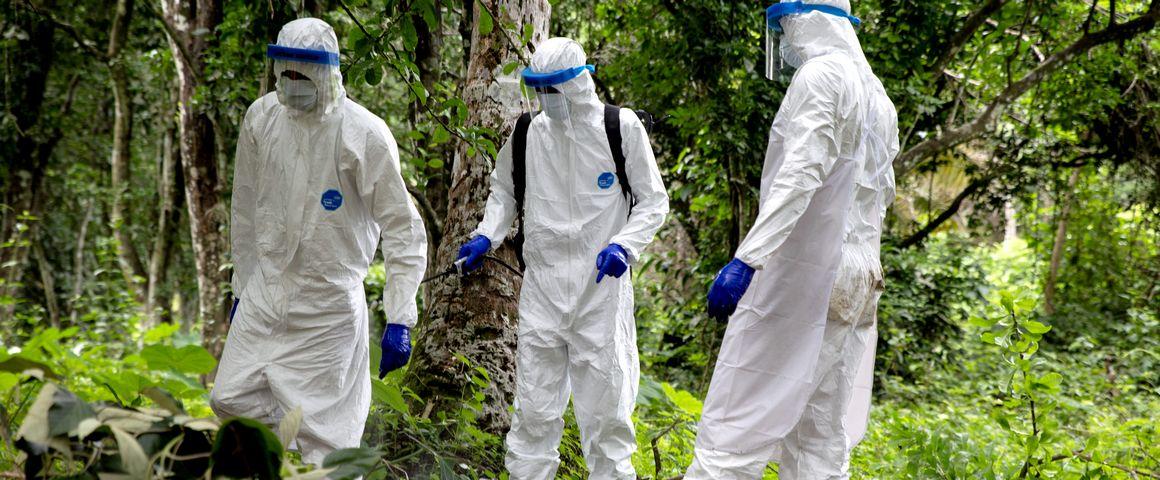
The Ebola virus is still making the news in Africa. The start of 2021 was marked by two epidemic flareups in Guinea and Democratic Republic of Congo.
Despite recent research efforts, many questions remain as to the conditions that favour the emergence, transmission and spread of this filovirus. As a result, and given the lack of available epidemiological data, it is difficult to predict the zones most at risk of Ebola emergence. "This is typically the type of situation in which spatial multi-criteria evaluation can be useful", says Annelise Tran, a modelling specialist at CIRAD.
The method has already proved its merits for mapping the risks of highly pathogenic avian influenza transmission in Southeast Asia, and of the amplification and spread of Rift Valley fever and Peste des Petits Ruminants in East Africa (see also issue 46 of Perspective).
For Ebola, the CIRAD researchers looked at three zones where the virus had already emerged in the past: southern Guinea, northeastern Gabon and western Congo. "Using spatial multi-criteria evaluation, we were able to associate different types of data – climate, environmental, anthropogenic, or the distribution of animals potentially involved in virus transmission – and map the risk of Ebola emergence in those regions with a resolution of 1 km2", says Larisa Lee-Cruz, the ecologist-geomatician who led this work during her post-doc time at CIRAD. "These maps show that the risks vary enormously within space, notably depending on landscape heterogeneity, and in time, depending on the season."
By indicating the zones most at risk at a given time, this tool could serve to optimize resources. "Wildlife sampling operations to assess the presence of the virus in the environment would be more efficient", Annelise Tran considers. "The health authorities could also use it to step up surveillance and prevention in the zones at greatest risk, and thus prevent future epidemics."
To build their maps, the researchers began by identifying the known risk factors that foster virus transfer from animals to humans. "For instance, those risk factors include bushmeat consumption or the presence of animals assumed to be virus "hosts". Bats, but also certain primates and duikers, bovids found in the tropical forests of Africa. The rainy season, when various trees bear fruit, is also associated with a greater likelihood of contact between wildlife and humans, as are forest landscapes interspersed with farmland" Larisa Lee-Cruz specifies.
Once data on these risk factors are available, they are weighted and then combined within a geographical information system (GIS), an IT tool used to compile, analyse and visualize spatial data. "One of the advantages of this method is that it makes it easy to update maps as and when knowledge of a disease changes, for instance when a new risk factor is discovered", Annelise Tran adds.
This interdisciplinary work within the framework of the EboHealth project, funded by Montpellier University of Excellence (MUSE) could benefit other parts of Africa. "The idea is that our partners could take the tool on board and produce their own maps", Annelise Tran says. "This would obviously require resources and IT skills, but there are free GIS software packages such as QGIS, and we offer online training courses via the PRISME platform to familiarize users with spatial multi-criteria evaluation and show them how to process geographical information using a GIS."
The risk of the emergence of other viruses could also be mapped in a similar way. "Our work on Ebola could be transposed to cover another filovirus related to Ebola, Marburg virus, a lethal case of which was recently seen in Guinea" she adds.
Results & impact 10 July 2026
Results & impact 19 May 2026
Results & impact 20 April 2026