


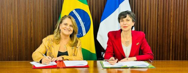
Institutional news 3 April 2024
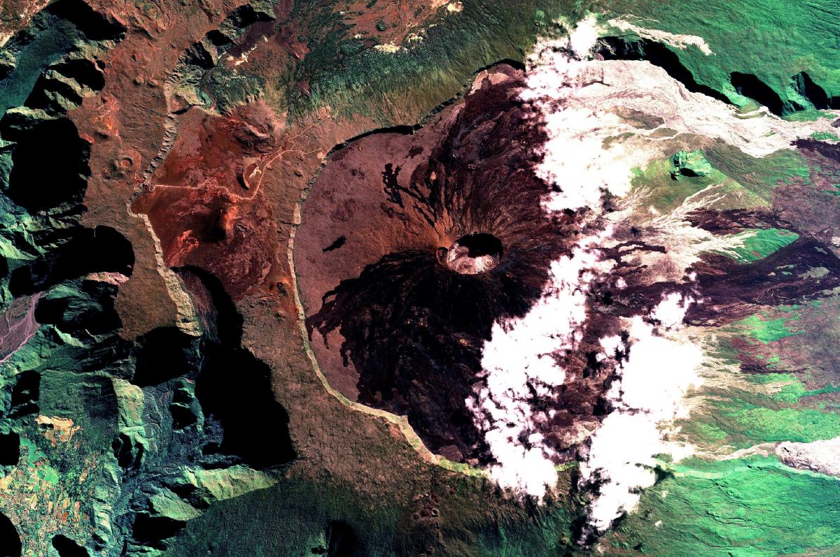
SPOT image (July 2019) of the Piton de la Fournaise, a volcano on Réunion Island, available on the DINAMIS portal © ADS GeoIntelligence
DINAMIS is primarily intended for French public players, both scientific and non-scientific, overseas scientific partners, and private players involved in research and development (R&D) or in the provision of innovative services. DINAMIS follows on from previous platforms ( ISIS, GEOSUD, Pléiades public service concession, etc), and has harmonized and pooled their resources (archives, means of receipt, IT infrastructures, organization) to provide satellite data users with a long-term service.
DINAMIS now offers free access to two types of space-based Earth observation data:
DINAMIS is a transverse service provided by the Data Terra research infrastructure and its Theia (continental surfaces), ODATIS (ocean), ForM@Ter (solid Earth) and AERIS (atmosphere) data hubs. It organizes resource sharing to ensure a supply of data, their dissemination, and user support for institutional use by the scientific community and public players on a national level (State services and agencies, territorial authorities), with the support of experts from the hubs. DINAMIS thus contributes to the development of new products and services based on Earth observations, in support of public environmental and territorial policy.
Institutional news 3 April 2024

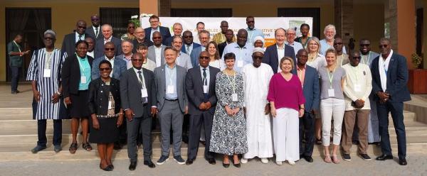
Institutional news 2 February 2024
Institutional news 26 January 2024