


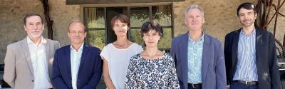


Just out 11 March 2024
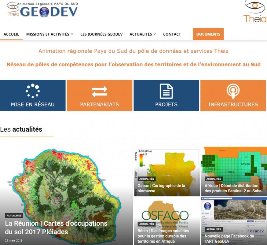
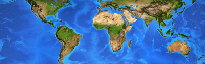
The theia-land.art-geodev.fr information website covers the activities, current partnerships and events of the GeoDEV network of skills centres working on spatial observation of countries and territories in the global South. Vistors will also find collaborative resources and downloadable documents. CIRAD uses the website to disseminate information about its projects and activities.
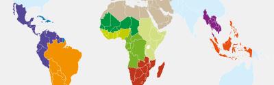
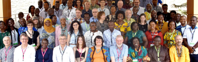
The network is led by IRD (UMR ESPACE-DEV), CIRAD (UMR TETIS) and CNES (continental environment and hydrology programmes), to foster partnerships with spatial observation users in the global South.
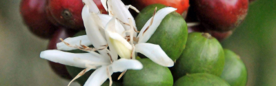
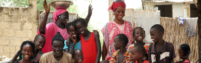
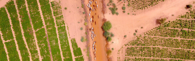
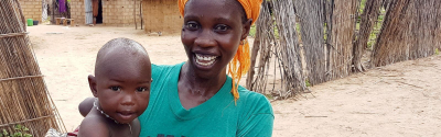
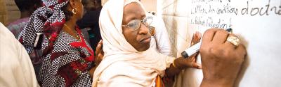
GeoDEV helps countries and territories in the global South master spatial observation, to understand, manage and thus respond better to the major issues with environmental monitoring in the intertropical belt.
Just out 11 March 2024
Just out 15 January 2024
Just out 13 December 2023