


Just out 11 March 2024
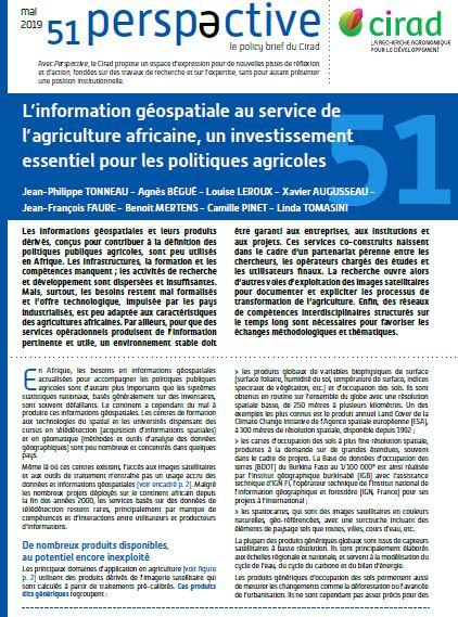
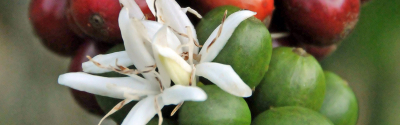
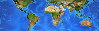
Perspective 51. Geospatial information for African agriculture: a key investment for agricultural policies © CIRAD
With Perspective, CIRAD sets out to suggest new lines of debate and action, backed up by research work, albeit without presenting an official institutional position.
This series of 4-page summaries presents novel ideas or policies on development issues of strategic importance for countries in the South: food security, land tenure, climate change, energy security, forest management, standards, etc
Just out 11 March 2024
Just out 15 January 2024
Just out 13 December 2023